
The goal of {openairmaps} is to combine the robust
analytical methods found in openair with the
highly capable {leaflet} package.
{openairmaps} is thoroughly documented in the openair
book.
You can install the release version of {openairmaps}
from CRAN with:
install.packages("openairmaps")You can install the development version of {openairmaps}
from GitHub with:
# install.packages("devtools")
devtools::install_github("davidcarslaw/openairmaps")The openairmaps package is thoroughly documented in the
openair
book, which goes into great detail about its various functions.
Functionality includes visualising UK AQ networks
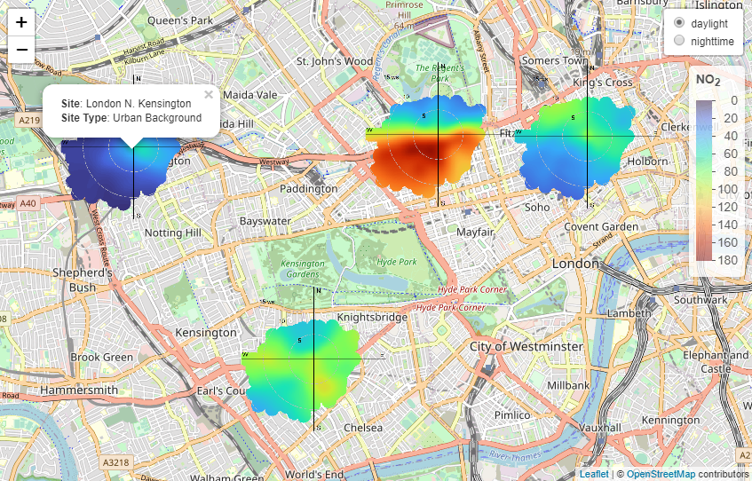
(networkMap()), putting “polar directional markers” on maps
(e.g., polarMap()) and overlaying HYSPLIT trajectories on
maps (e.g., trajMap()).
library(openairmaps)
polar_data %>%
  openair::cutData("daylight") %>%
  buildPopup(
    c("site", "site_type"),
    names = c("Site" = "site", "Site Type" = "site_type"),
    control = "daylight"
  ) %>%
  polarMap(
    control = "daylight",
    pollutant = "no2",
    limits = c(0, 180),
    cols = "turbo",
    popup = "popup"
  )